Hike Alberta has been moved, view the new and improved post for this hikes, several others and use the other features of the site at hikealberta.com
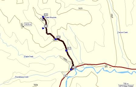
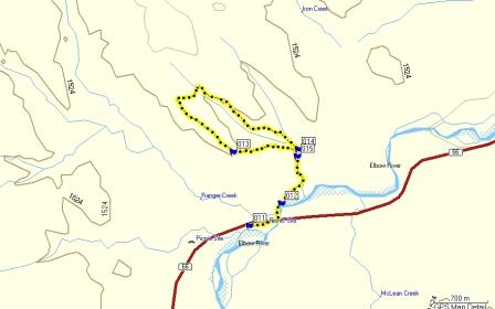
Name: Bowness to Valley Ridge
Hike Distance: 1.9 km one-way
Time required: 1-1.5 hours return
Difficulty: Easy
Elevation Gained: 38 metres
Total Climb: 106 metres
Dog Friendly: Yes
Bikes: Permitted but not recommended (numerous stairs)
Location: For this walk you are best to park near the intersection of 48 Avenue NW and 33 Avenue NW. Walk to the North of the George Wood Learning Centre and the trail starts at Waypoint #101. The other option is to start in Valley Ridge on Valley Springs Road NW.
The total walk is 3.8 kilometres return. It is my favourite along the Bow in Calgary.
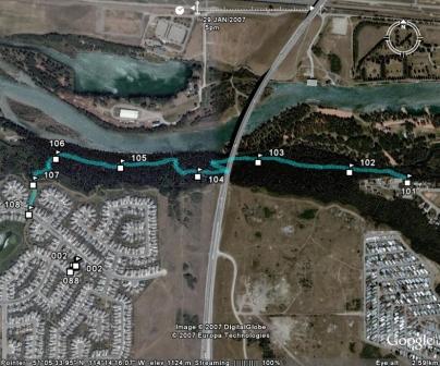
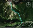
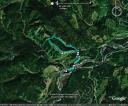
Go to Everytrail to check out the Google Earth view of this path and download the GPS track.
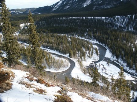
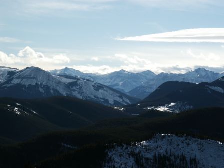
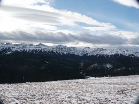
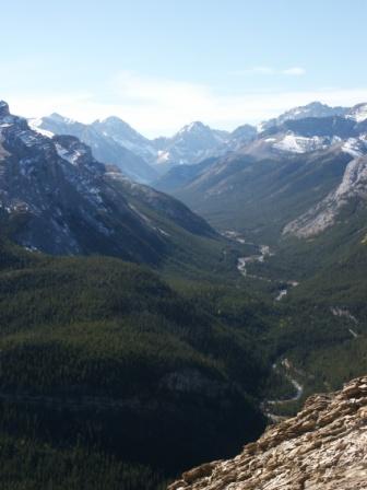
This walk is nice because the trail, especially the section from the Stony Trail overpass to Valley Ridge, feels like you have left town. Very beautiful and peaceful. 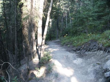
Please submit your feedback and let me know your thoughts on the hike. If you have the gps data for other hikes in Alberta please send it along with a couple pictures to hikealberta@gmail.com.